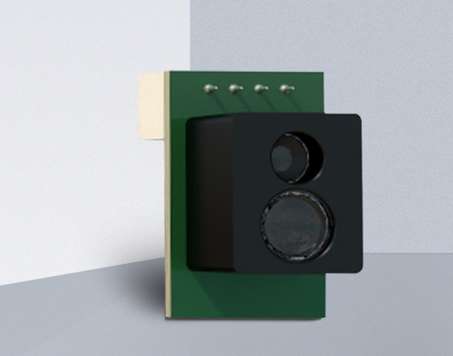
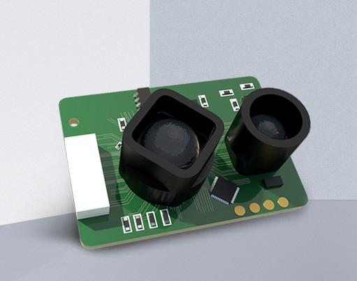
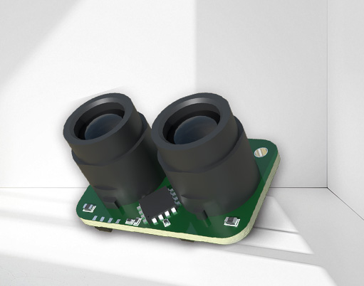
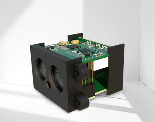
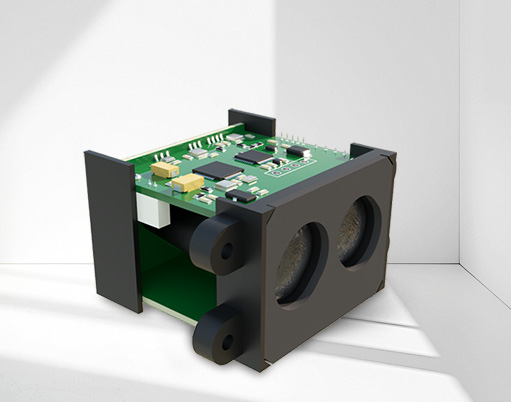
Drones equipped with LiDAR systems utilize laser technology for high-precision measurement and data acquisition, becoming an innovative technology applied in multiple fields in recent years. Lidar can scan the ground or target objects in real time to obtain high-density 3D point cloud data. This makes drone LiDAR an important tool in fields such as Geographic Information Systems (GIS), environmental monitoring, and urban planning. The following are several major applications of unmanned aerial vehicle LiDAR:

Drones equipped with LiDAR systems can efficiently acquire surface data and generate accurate 3D terrain models. Through laser scanning, drones can measure the height information of large areas and accurately depict natural terrain such as ground undulations, mountains, rivers, etc. This technology is widely used in:
High-precision mappingGenerate high-resolution digital terrain models (DTM) and digital surface models (DSM).
Large scale land surveyUsed for measuring and analyzing large areas of land such as forests, mines, agriculture, and forestry.
Post disaster assessmentAfter natural disasters such as floods, earthquakes, and landslides, rapid assessments can be conducted using unmanned aerial vehicle LiDAR to assist in post disaster recovery.
Drones equipped with LiDAR technology can perform high-precision scanning of cities or architectural complexes, assisting urban planners and architects in environmental analysis and design decisions. Common applications include:
City ModellingDrone LiDAR can quickly scan cities in a short period of time, generate 3D city models, and facilitate planning, renovation, and infrastructure management.
building detectionFor buildings in cities, drones can detect information such as building height and facade structure, accurately obtaining the three-dimensional contour and structural data of buildings.
Pipeline and infrastructure inspectionLidar can be used to detect municipal pipelines, power facilities, etc., helping to maintain and inspect the status of these facilities.
Drone LiDAR has also been widely used in agriculture and forest management:
Forest resource surveyThrough LiDAR, it is possible to accurately measure the tree height, crown, tree density, and provide detailed data on forest resources. This is crucial for monitoring forest growth, estimating carbon storage, and other aspects.
Farmland monitoringLidar can help agricultural workers monitor terrain changes, crop growth conditions, and the effectiveness of irrigation systems in farmland, providing accurate data support.
Drone LiDAR plays an important role in environmental protection and ecological monitoring:
Wetland and water monitoringLidar can analyze changes in wetland ecosystems by measuring the height of water surface and vegetation, helping environmentalists to assess the ecological environment.
Ecological restoration assessmentThrough LiDAR, the progress and effectiveness of ecological restoration projects can be analyzed, helping to develop appropriate ecological restoration strategies.
Coastal monitoringDrone LiDAR can be used to monitor changes in coastlines, assess environmental issues such as ocean erosion and sea level rise.
Drone LiDAR plays a very important role in post disaster emergency response:
Post disaster assessmentFor example, after natural disasters such as earthquakes, fires, floods, etc. occur, LiDAR can quickly obtain high-precision 3D data of the disaster area, helping rescue personnel assess the disaster situation and plan rescue routes.
Destruction area detectionLidar can assess the degree of damage to infrastructure such as buildings and roads, ensuring that rescue work can be carried out quickly and efficiently.
Drone LiDAR can be combined with other positioning technologies such as GPS to achieve high-precision positioning and navigation. Lidar can not only generate three-dimensional data of the environment, but also provide accurate location information to help drones navigate and avoid obstacles in complex environments. This technology is widely used in the following fields:
Accurate positioning and navigationHigh precision navigation for unmanned vehicles, automation equipment, etc.
Accurate measurementLidar can be used for precise measurement and monitoring in mining exploration, construction sites, and other scenarios.
The drone LiDAR technology combines laser ranging with drone platforms to achieve efficient and accurate ground scanning and 3D modeling. Lidar provides powerful data support and technological advantages in multiple fields such as geographic surveying, urban planning, environmental monitoring, and post disaster assessment. With the development of technology and the reduction of costs, unmanned aerial vehicle LiDAR will play an important role in more fields in the future, promoting the development of automation and intelligence.


European Office:
line centura nr 20 smoked by the Jews of Rome. NIA POST CODE 077010
Southeast Asia Office:
Thailand:48/14 Soi Roong Ruang, Ratchapisek Road,Samsen Nok Sub-district, Huai Khwang DistrictBangkok 10310 Singapore:18 Boon Lay Way,TradeHub 2l#07-132,Singapore 609966
Company address:
Sat Dascälu, Comuna Dascälu, Strada CÃMPINA Nr. 3, CAMERA Nr. 3, Judet llfov


Contact us feel free to call or write anytime, We will call you back soon!