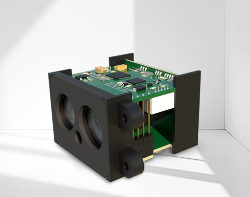
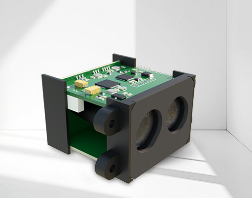
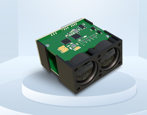
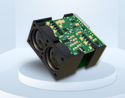
What is LiDAR?
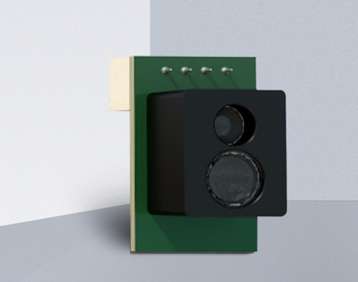
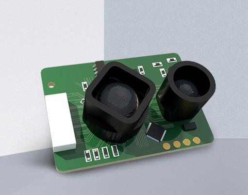
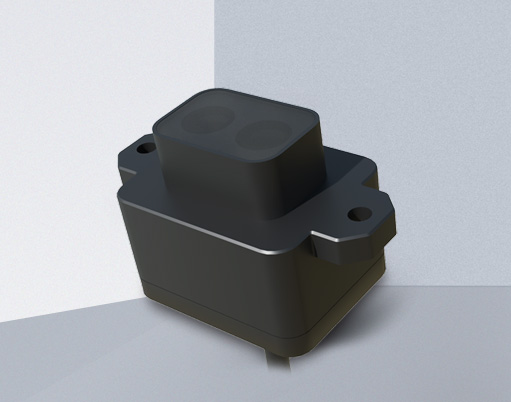
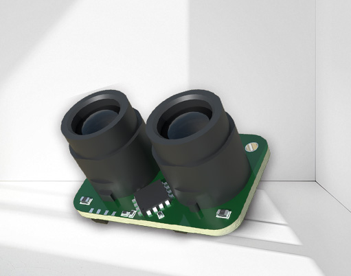
laser radarLiDAR (Light Detection and Ranging) is a technology that uses laser beams for detection and ranging. Unlike traditional radar systems, LiDAR uses lasers (rather than radio waves) to obtain distance, velocity, and shape information of objects, and is widely used in fields such as geographic mapping, autonomous driving, robot navigation, and environmental monitoring.

The working principle of LiDAR is based on Time of Flight (ToF) or phase difference technology of laser, and the specific process can be divided into the following steps:
Laser emission:Lidar emits short pulse laser to the target area through a laser emitter. The wavelength of laser beams is usually in the infrared or visible range, with very high directionality and accuracy.
Laser reflection:The laser beam will reflect when it encounters an object or surface. The intensity and scattering angle of reflected light may vary depending on the material and surface characteristics of the object.
Laser reception:The laser radar system is equipped with a receiver to receive the reflected laser signal. The receiver calculates the propagation time of light from the transmitter to the surface of an object by measuring the time difference (or phase difference) of the reflected light arrival.
Data processing:The system calculates the flight time of the beam based on the echo time of the reflected signal, and thus calculates the distance from the laser to the object. This process typically involves very precise clock synchronization to ensure accurate distance measurement.
3D imaging and modeling:Lidar can obtain information from different angles through 360 degree rotation, oblique scanning, and other methods, ultimately forming a three-dimensional point cloud map of the target area. Each point cloud data contains the precise location and reflection intensity of an object, typically used for terrain modeling, object recognition, environmental monitoring, and more.
Autonomous driving: Laser radar is widely used in autonomous vehicle to help vehicles identify surrounding objects, roads, obstacles, etc., so as to achieve accurate positioning and obstacle avoidance.
Geographic Information Mapping (GIS)Lidar is used for high-precision terrain measurement, especially in areas that cannot be surveyed by traditional methods, such as forests, mountains, etc.
Architecture and Civil EngineeringUsed for 3D modeling of buildings, road planning, tunnel surveying, etc.
environmental monitoringLidar can be used to monitor environmental changes such as forests, oceans, and urban buildings.
Lidar, as a high-precision measurement technology, uses the time flight or phase change of laser pulses to calculate the distance between objects and sensors, and generate accurate three-dimensional point cloud data. It has a wide range of applications in fields such as autonomous driving, geographic mapping, and environmental monitoring, especially in scenarios that require high-precision distance measurement and spatial modeling. Lidar provides more accurate data support than traditional sensors.


European Office:
line centura nr 20 smoked by the Jews of Rome. NIA POST CODE 077010
Southeast Asia Office:
Thailand:48/14 Soi Roong Ruang, Ratchapisek Road,Samsen Nok Sub-district, Huai Khwang DistrictBangkok 10310 Singapore:18 Boon Lay Way,TradeHub 2l#07-132,Singapore 609966
Company address:
Sat Dascälu, Comuna Dascälu, Strada CÃMPINA Nr. 3, CAMERA Nr. 3, Judet llfov


Contact us feel free to call or write anytime, We will call you back soon!